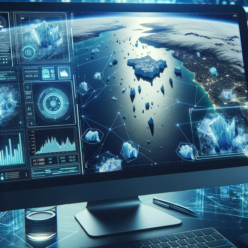
Artificial Intelligence Can Speed Sort Satellite Photos
Artificial intelligence can speed sort satellite photos – a statement that’s rapidly becoming reality. Imagine sifting through terabytes of satellite imagery, identifying specific features, and categorizing them all in a fraction of the time it currently takes. This is the power of AI, transforming how we process and understand the vast amounts of data captured from above. This post delves into the exciting world of AI-powered satellite image sorting, exploring the algorithms, challenges, and real-world applications that are shaping the future of remote sensing.
From disaster response to environmental monitoring, the potential benefits are immense. We’ll examine different AI techniques like deep learning and convolutional neural networks, discussing their strengths and weaknesses in this specific context. We’ll also explore crucial aspects like data preprocessing, scalability, and the ethical considerations involved in using AI to analyze satellite imagery. Get ready for a deep dive into this fascinating and rapidly evolving field!
Applications and Case Studies

AI-accelerated satellite image sorting isn’t just a technological marvel; it’s a game-changer with far-reaching implications across various sectors. The ability to rapidly process vast quantities of satellite imagery unlocks unprecedented opportunities for faster, more efficient, and informed decision-making. This section will explore some key applications and delve into a detailed case study to illustrate the transformative potential of this technology.The speed and efficiency gains offered by AI-powered sorting are particularly impactful in time-sensitive situations.
Consider the difference between manually sifting through thousands of images and having an AI system identify and prioritize relevant data within minutes. This difference translates directly into faster response times and better outcomes in numerous applications.
Disaster Response
In the aftermath of natural disasters like earthquakes, floods, or hurricanes, rapid assessment of the damage is crucial for effective relief efforts. AI-accelerated satellite image sorting allows emergency responders to quickly identify areas most in need of assistance by pinpointing damaged infrastructure, assessing the extent of flooding, or locating survivors. For example, after a major earthquake, an AI system could analyze satellite images to automatically identify collapsed buildings, highlighting them on a map for rescue teams.
This significantly reduces the time it takes to assess the situation and deploy resources, potentially saving lives. The speed increase compared to manual analysis could be measured in days, or even weeks, drastically improving the effectiveness of the response.
Environmental Monitoring
Monitoring deforestation, tracking pollution levels, or assessing changes in land use are critical tasks in environmental management. AI-powered sorting of satellite images enables the automation of these monitoring processes, providing near real-time updates on environmental changes. For instance, an AI system can be trained to identify patterns indicative of illegal logging activities, automatically flagging suspicious areas for further investigation. This leads to more efficient and timely interventions, preventing further environmental damage.
The improved speed and efficiency allow for more frequent monitoring and proactive measures, leading to better environmental protection.
Urban Planning
Urban planners rely heavily on up-to-date information about population density, infrastructure development, and land usage. AI-driven satellite image sorting facilitates the efficient analysis of large datasets, providing valuable insights for urban planning projects. For example, AI can analyze satellite images to identify areas experiencing rapid population growth, aiding in the planning of new infrastructure like roads, schools, and hospitals.
The improved speed and efficiency of this process allow for more data-driven and informed urban planning decisions, leading to more sustainable and efficient urban development.
Case Study: Deforestation Monitoring in the Amazon Rainforest, Artificial intelligence can speed sort satellite photos
A non-profit organization dedicated to rainforest conservation implemented an AI-powered system to monitor deforestation in the Amazon. The system processes high-resolution satellite images, using a deep learning model trained to identify areas of cleared forest based on changes in vegetation patterns and land cover. The AI automatically flags potential deforestation events, generating alerts for on-the-ground teams. Before the implementation of the AI system, manual analysis of the satellite images was a time-consuming and resource-intensive process, resulting in significant delays in detecting and responding to deforestation activities.
The AI system reduced the time required to identify deforestation events by over 80%, allowing for faster intervention and a more effective response to illegal logging. The process involved uploading satellite imagery to a cloud-based platform where the AI model performed the analysis. Results were visualized on an interactive map, allowing for easy identification and prioritization of areas requiring attention.
The increased speed and efficiency led to a measurable decrease in deforestation rates within the project area.
Potential Future Applications
The future applications of AI-accelerated satellite image sorting are vast and exciting. This technology has the potential to revolutionize many fields, extending beyond the examples already discussed.
- Precision Agriculture: Optimizing crop yields by monitoring crop health and identifying areas requiring attention.
- Predictive Maintenance: Identifying potential infrastructure failures by analyzing satellite images of bridges, roads, and other assets.
- Military Intelligence: Enhancing surveillance capabilities and improving situational awareness.
- Archaeological Discovery: Identifying potential archaeological sites by analyzing land features and patterns visible in satellite imagery.
- Public Health: Monitoring disease outbreaks by analyzing population density and environmental factors.
Ethical Considerations and Limitations: Artificial Intelligence Can Speed Sort Satellite Photos

The rapid advancement of AI in analyzing satellite imagery presents incredible opportunities, but also raises significant ethical concerns and highlights the limitations of current technology. While AI can automate the sorting of vast amounts of data with impressive speed and accuracy, we must carefully consider the potential negative consequences and strive to develop responsible applications. Ignoring these issues risks exacerbating existing inequalities and undermining public trust.AI-powered satellite image sorting is not without its flaws.
The accuracy of the system is heavily reliant on the quality and diversity of the training data. Biased datasets, for example, can lead to biased outputs, potentially reinforcing existing societal prejudices in applications like urban planning or resource allocation. Furthermore, the “black box” nature of some AI algorithms makes it difficult to understand how they arrive at their conclusions, hindering accountability and transparency.
Privacy Implications of AI-Based Satellite Image Sorting
The ability of AI to identify and track objects and individuals from satellite imagery raises serious privacy concerns. High-resolution images can potentially reveal sensitive personal information, such as individuals’ locations, activities, and even their identities. The lack of robust regulations and oversight in this area could lead to widespread misuse of this technology for surveillance or even harassment.
For instance, an AI system trained to identify specific types of vehicles could inadvertently reveal the location of individuals based on their association with those vehicles, even without explicit intent. Stronger data protection laws and ethical guidelines are crucial to mitigate these risks.
Limitations of Current AI Technology in Satellite Image Sorting
Current AI algorithms for satellite image sorting still struggle with complex scenarios, particularly those involving high levels of cloud cover, shadows, or obscured objects. The accuracy of these systems can also be significantly affected by variations in lighting conditions, image resolution, and the presence of artifacts. Furthermore, the computational resources required to process vast quantities of satellite imagery remain substantial, posing a barrier to widespread adoption, particularly in resource-constrained settings.
For example, differentiating between similar types of vegetation or accurately identifying small-scale infrastructure from low-resolution images can still prove challenging for current AI systems.
Potential for Human Error and Mitigation Strategies
Despite the automation provided by AI, human oversight remains crucial in the satellite image sorting process. Errors can occur during data annotation, algorithm development, or even in the interpretation of AI-generated results. To mitigate these errors, a robust quality control process is essential. This involves incorporating multiple layers of human review, utilizing independent validation techniques, and continuously monitoring the performance of the AI system.
Regular audits, clear guidelines for data handling, and training programs for personnel involved in the process can significantly reduce the likelihood of human-induced errors and ensure the accuracy and reliability of the results. For instance, having a team of experts independently review a subset of AI-sorted images can identify potential biases or inaccuracies early on.
Future Research Directions for AI-Based Satellite Image Sorting
Future research should focus on developing more robust and explainable AI algorithms capable of handling diverse and complex scenarios. This includes improving the ability of AI systems to handle noisy data, address biases in training data, and provide greater transparency in their decision-making processes. Furthermore, research into efficient and scalable computational methods is needed to reduce the computational burden associated with processing large datasets.
Finally, the development of ethical guidelines and regulatory frameworks is crucial to ensure the responsible and equitable use of AI in satellite image sorting, mitigating potential risks to privacy and security.
The ability of artificial intelligence to rapidly sort satellite photos is revolutionizing various industries. From speeding up disaster relief efforts to enabling more efficient environmental monitoring, the impact is undeniable. While challenges remain, particularly in scaling to handle massive datasets and addressing ethical concerns, the future of AI-powered satellite image sorting looks incredibly bright. Continued advancements in algorithms and computing power promise even faster, more accurate, and more insightful analysis of the world from above.
It’s a thrilling time to be witnessing this transformation!
AI’s ability to rapidly sort through mountains of satellite imagery is a game-changer, especially when analyzing geopolitical situations. This speed is crucial for understanding regional dynamics, like those highlighted in this article about how america remains Asia’s military exercise partner of choice , as quick analysis of satellite photos can provide critical context to such partnerships. Ultimately, faster image processing via AI means better situational awareness, impacting everything from military strategy to disaster response.
AI’s ability to rapidly sort through satellite imagery is game-changing, especially when monitoring infrastructure related to energy production. Understanding the impact of different energy sources is crucial, and reading the report on energy transition a dangerous delusion report really highlighted that. This kind of analysis, paired with AI-powered image sorting, could significantly improve our understanding of the energy landscape and help us make better decisions about resource management.
AI’s ability to rapidly sort through satellite imagery is amazing; imagine the applications for environmental monitoring! It got me thinking about how technology solves problems, and I read this fascinating article about a scientific discovery could lead to leak free period products , which shows how innovation impacts different areas. Returning to satellite imagery, this rapid sorting could revolutionize our understanding of deforestation, for example.


